15+
Satisfied Clients


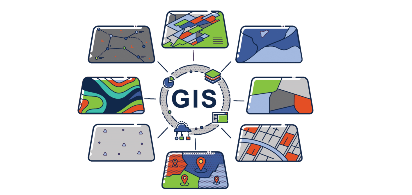
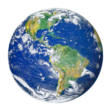
We capture, store, analyze and manage spatial and geographic data. We enable users to visualize and...
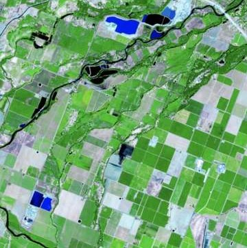
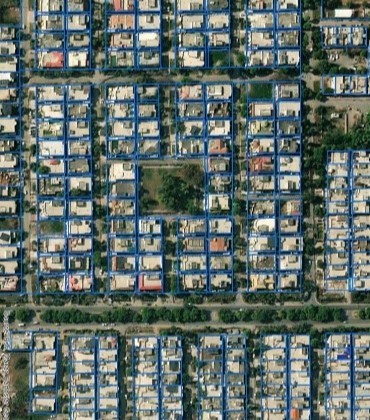
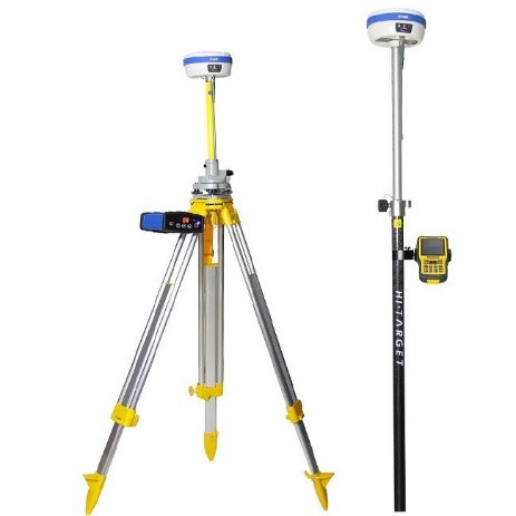
Using satellites, aircraft, drones, or other devices equipped with sensors, we collect data, process...
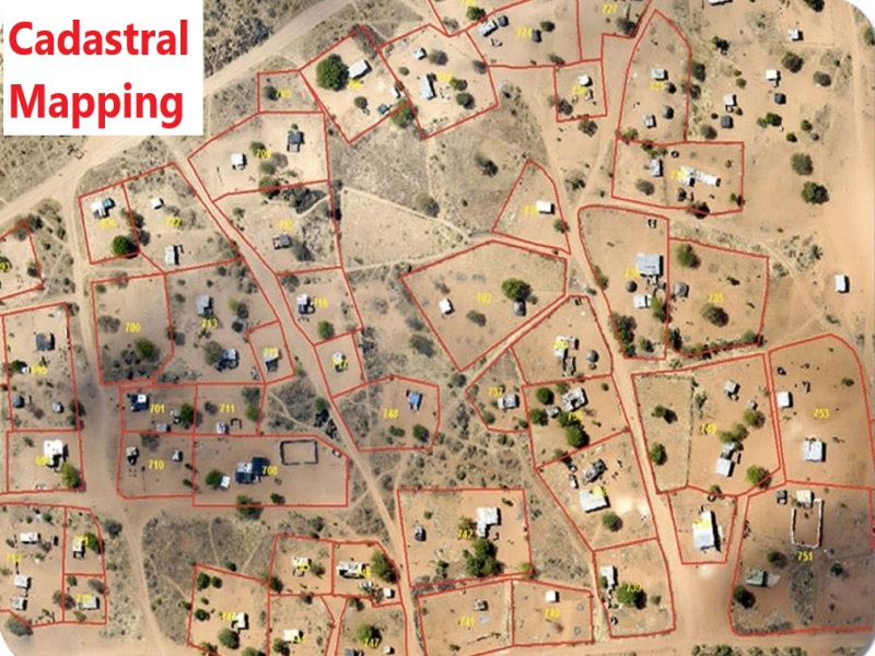
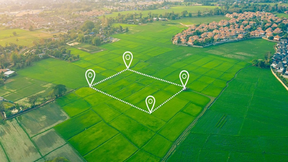
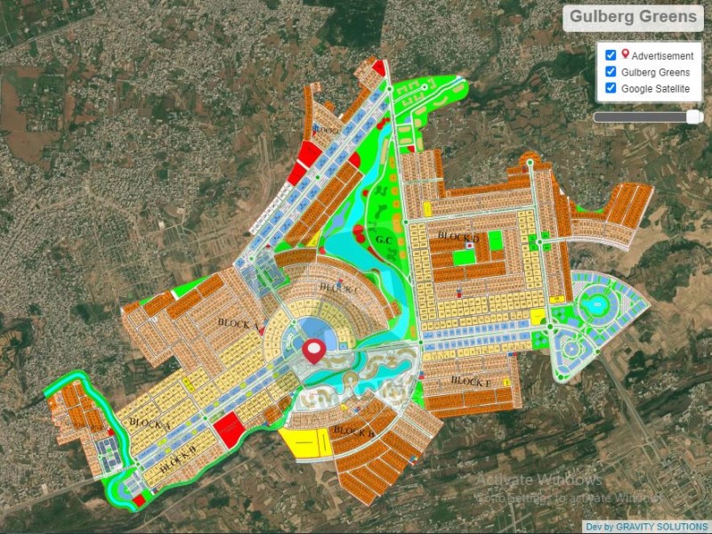
One of our core expertise, focuses on recording the boundaries, ownership, and legal descriptions of...
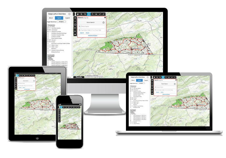
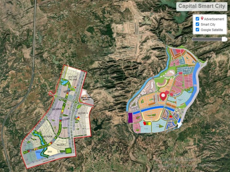
We are skilled in developing Web-based Geographic Information System that allows users to access, vi...
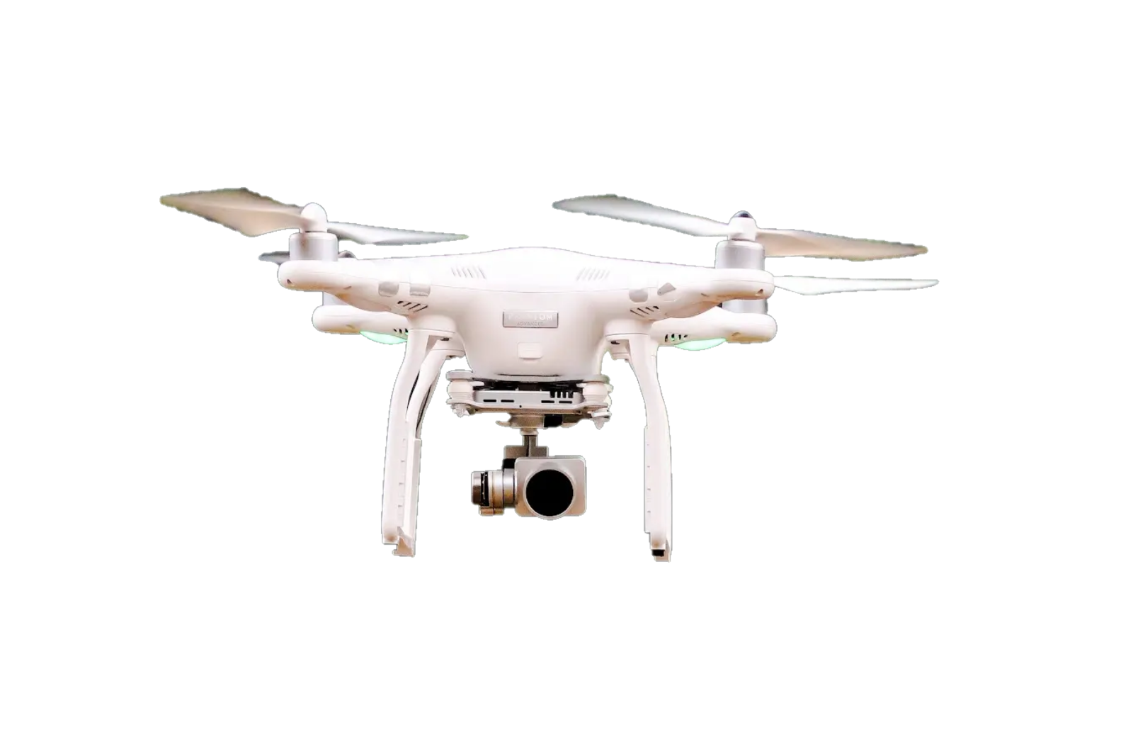
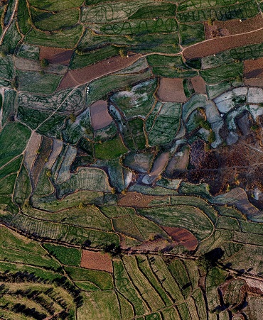
Using latest Drones, equipped with cameras or other sensors , we capture aerial images of a specific...
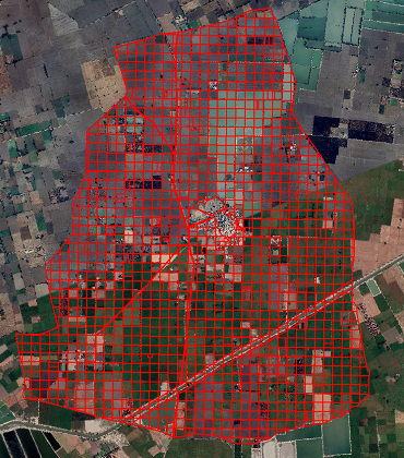
With our experienced survey team, we conduct detailed surveys that map the surface features of a spe...
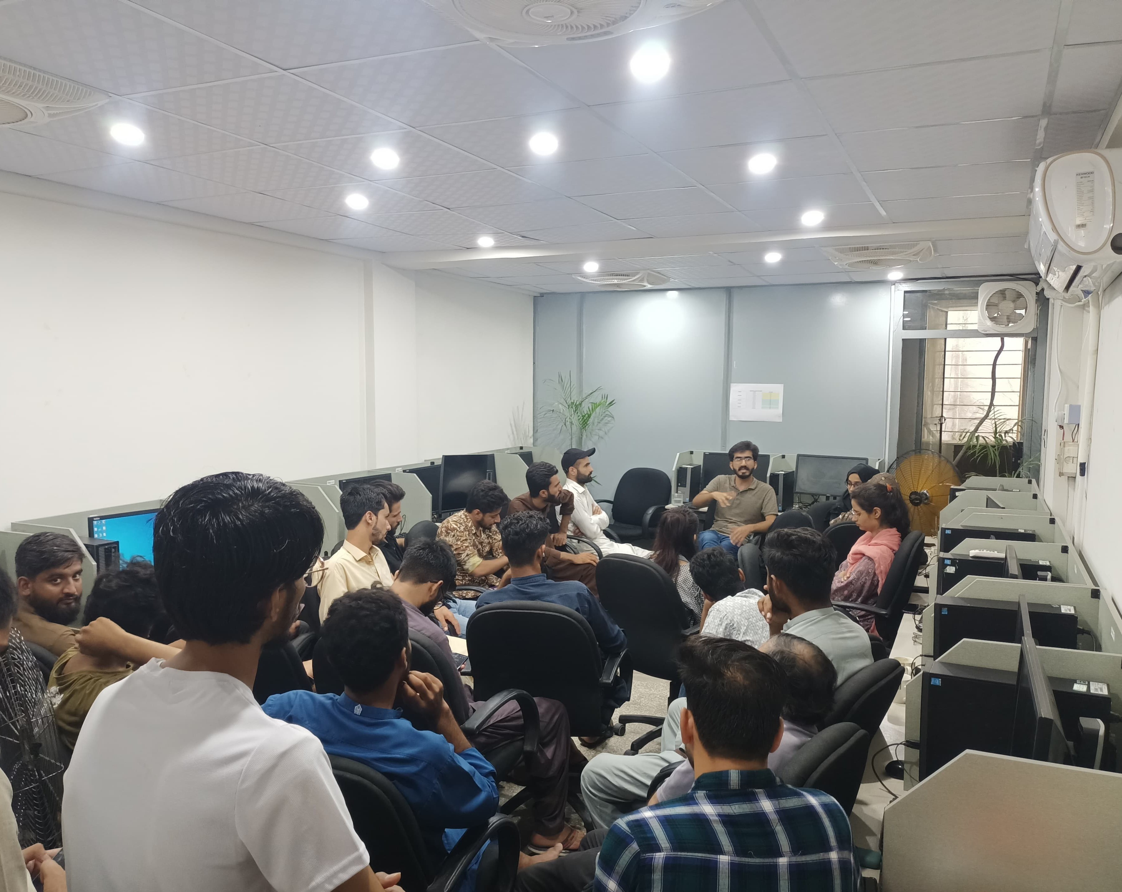
Gravity Solutions is a firm dedicated to offering cutting-edge geo-spatial solutions to various industries. We take pride in delivering solutions that are not only highly valuable but also incredibly user-friendly and visually compelling. Our commitment to being cost-effective, reliable, and deeply passionate about our work sets us apart. With state-of-the-art equipment at our disposal, our foremost goal is to identify and implement the optimal solution that perfectly aligns with our clients' needs and expectations. At Gravity Solutions, we're driven by a relentless pursuit of excellence in the field of geo-spatial solutions, ensuring that our clients receive nothing less than the best!
Satisfied Clients
Finished Projects
Skilled Experts


")


 1
1
We gather and define the client’s goals, needs, and constraints to ensure a clear understanding of the project scope.
 2
2
We create visual concepts and interactive prototypes to bring the client’s vision to life and refine it based on feedback.
 3
3
We develop, test, and deliver the fully functional solution, ensuring it meets all requirements and performs as expected.
Our customers consistently praise Gravity Solutions Company for its exceptional services and innovative approach. From cutting-edge GIS analysis to precise Remote Sensing analysis and seamless web-based solutions.
“Really co-operative, have sound knowledge of their work and skills. Must recommended.”

“Such an amazing experiences of working with a creative and experienced team.”

““At Gravity Solutions, we don’t just adapt to change—we create it. Our vision drives us to explore new horizons and push the boundaries of what’s possible.””

“Gravity Solutions having one of the best team to give best solutions.”
“Your services are really impressive, I would like to recommend all the parties having this kind of work or want to present there data graphically”