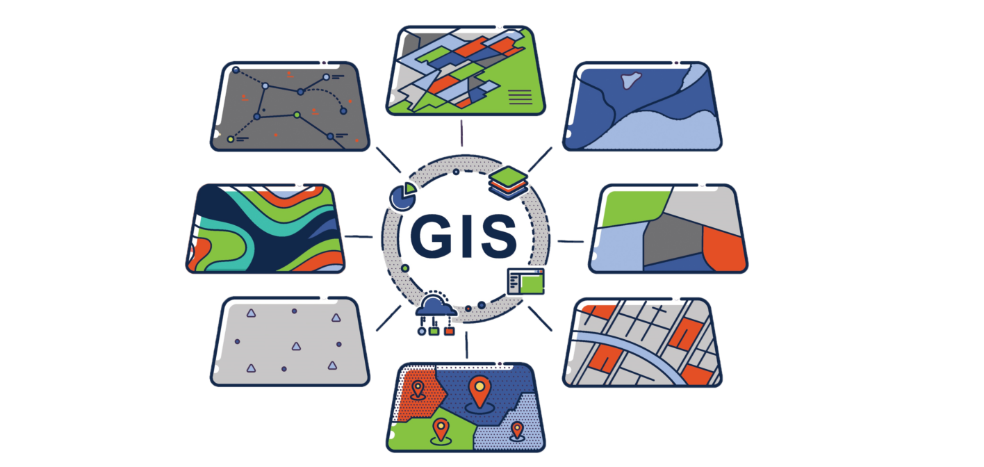

We capture, store, analyze and manage spatial and geographic data. We enable users to visualize and interpret data in ways that r...
Read More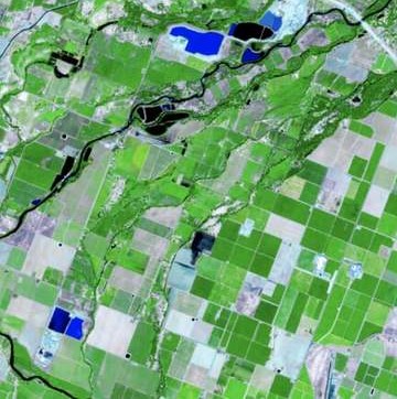

Using satellites, aircraft, drones, or other devices equipped with sensors, we collect data, process the data, analyze the data an...
Read More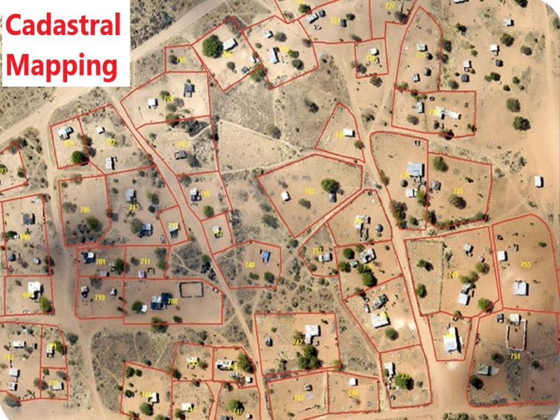

One of our core expertise, focuses on recording the boundaries, ownership, and legal descriptions of land parcels. It involves cre...
Read More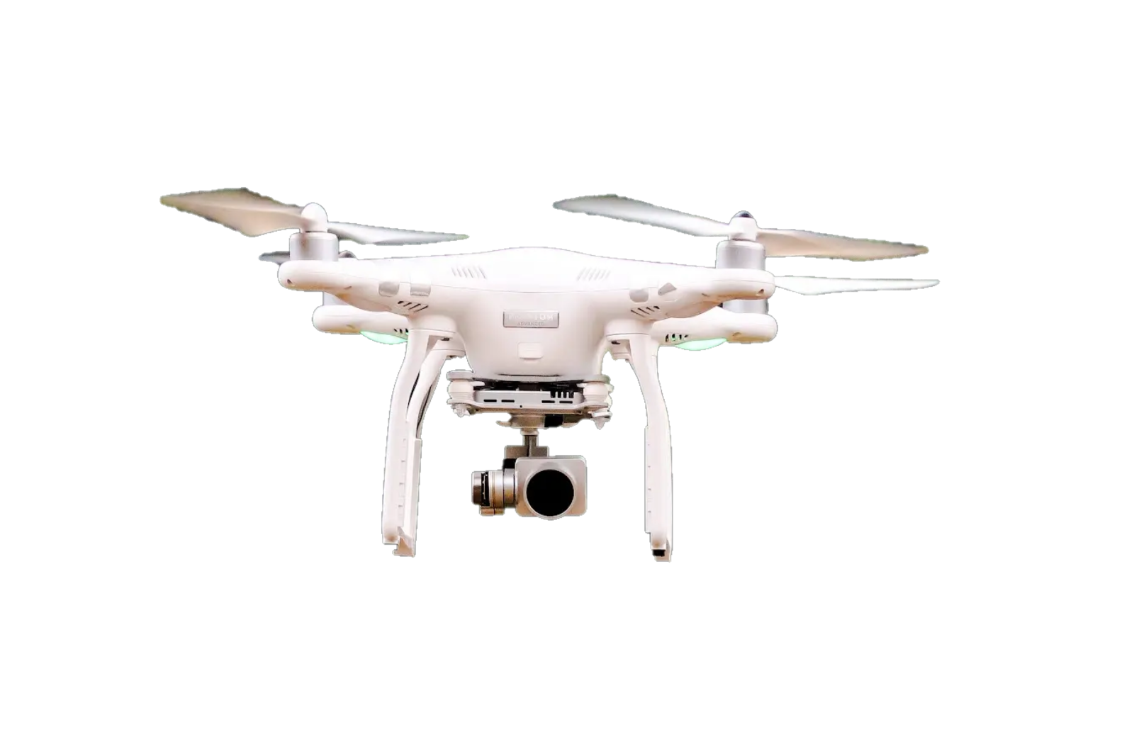

Using latest Drones, equipped with cameras or other sensors , we capture aerial images of a specific area. These images are then p...
Read More

With our experienced survey team, we conduct detailed surveys that map the surface features of a specific area of land, both natur...
Read More